
Creek trails, shops and services around the precinct.
Craigieburn North is planned as a business park, so everyday life for home buyers happens in the estates and suburbs around it. Here is what sits close by: the Merri Creek corridor, shopping centres in Kalkallo, Mickleham and Craigieburn, and health services in Craigieburn.
Illustrative image, indicative only.
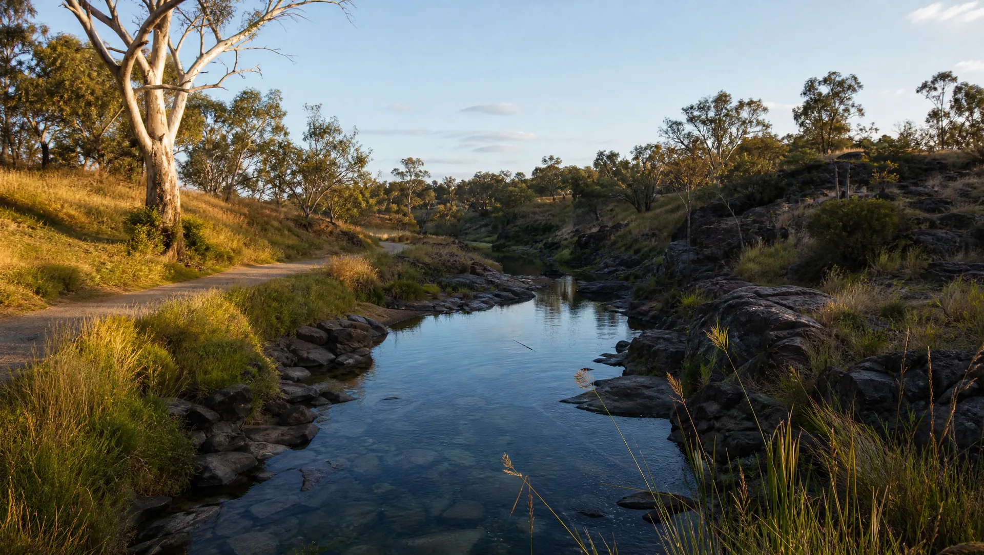
A creek corridor kept for nature.
Merri Creek runs along the eastern edge of the precinct. The plan describes it as a continuous corridor with environmental, heritage and recreation values, home to the critically endangered Growling Grass Frog, and a regional linear open space with potential for walking and cycling trails.
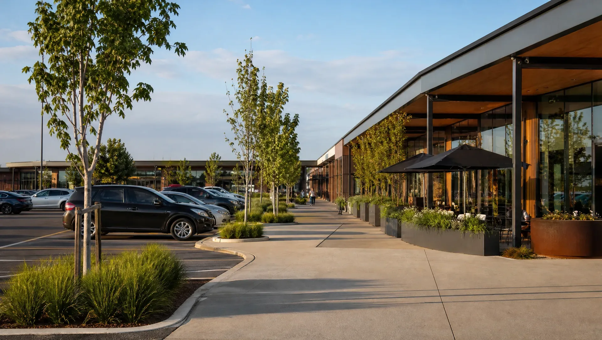
Shopping centres a short drive away.
Supermarkets and shopping centres sit within a few kilometres of the precinct: Kallo Town Centre in Kalkallo, Merrifield City and Highlands in Mickleham and Craigieburn, and Craigieburn Central further south.
Illustrative image, indicative only.
Merri Creek corridor
The plan keeps the creek for conservation, with native planting, linear trails and passive park areas along its banks.
Shopping nearby
Kallo Town Centre is about 3.9 km by road, Merrifield City Shopping Centre about 5.3 km, Highlands Shopping Centre about 6.1 km and Craigieburn Central about 8.7 km.
Health
Craigieburn Community Hospital is about 7.8 km by road, with clinics and pharmacies in Craigieburn and Mickleham.
Inside the precinct
A small local convenience centre and a local park are part of the plan, and an existing local sports reserve sits within the boundary.
Places from OpenStreetMap contributors (ODbL), retrieved 4 November 2026. Road distances from the precinct centre using OpenStreetMap routing on the same day. Planned land uses from the VPA Future Urban Structure dataset and the precinct structure plan.