
Getting to and from Craigieburn North.
Craigieburn North sits on Melbourne's northern growth corridor, between the Hume Freeway and the Sydney to Melbourne railway line. For buyers in the estates nearby, that means freeway access south to the city and two railway stations within about 6 km.
The Hume Freeway runs along the western edge of the precinct and Donnybrook Road along the northern edge, linking north to regional Victoria and south to Melbourne.
The Sydney to Melbourne railway line runs along the eastern edge. Donnybrook Station is about 4 km by road and Craigieburn Station, the end of the Craigieburn line, about 6 km.
Melbourne Airport is about 26 km by road, around 31 minutes' drive without traffic.
The plan aims to strengthen links to the Hume Freeway and the arterial road network, with land set aside for three road projects and seven intersection projects.
How long to get where you're going.
Indicative driving times without traffic from the centre of the Craigieburn North precinct. Real travel times depend on the starting point, route and traffic.
- Melbourne CBD~44 min (~37 km)
- Melbourne Airport~31 min (~26 km)
- Broadmeadows~21 min (~17 km)
- Epping~18 min (~16 km)
Calculated with OpenStreetMap routing on 4 November 2026. These are route estimates without live traffic and should be used as a guide only. Check Public Transport Victoria for train timetables.
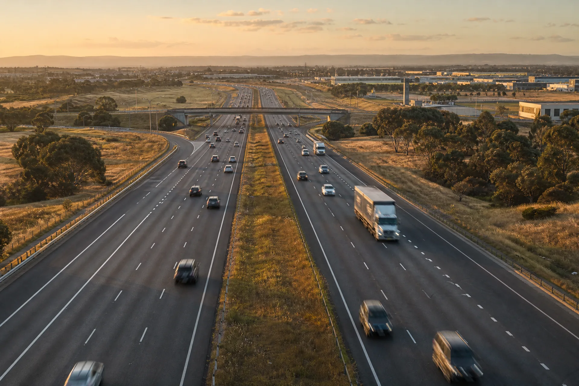
Illustrative image, indicative only.
On the main road north.
The plan aims to maximise access to the precinct by strengthening its links to the Hume Freeway. For home buyers in Mickleham, Kalkallo and Donnybrook, the same freeway leads south towards Broadmeadows and the city.